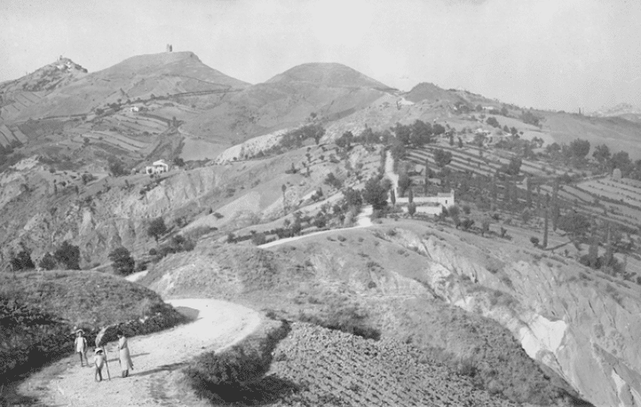
"Request for historical, landscape images for the enhancement of the territory afferent to the GAL Marecchia and Conca Valleys and the Rimini hinterland in general."

The Marecchia and Conca Valleys LAG has set among its main objectives, the promotion of the area through the enhancement of its inimitable landscape heritage.
Precisely in this regard, the LAG’s main “direct-directed” action aimed at the implementation of the so-called “CIP NETWORK” has been developed and initiated.
A project precisely OF NETWORK, which will affect in a uniform manner the whole LAG territory, in which CIP stands for Landscape Interpretation Centers i.e., physical places, set up with information and storytelling, multimedia and emotional spaces that will be the network’s points of reference in the territory, indicatively 18, divided between CIP Minor and CIP Major, one per municipality. To these are added over 500 POINTS OF INTEREST (places/environments/individual elements) representing the main territorial excellences of the two valleys, i.e. the real reasons for visiting the area and thus moving within the Network, already identified, filed and photographed.
Within the project, it envisions the creation of a multimedia platform that can represent and disseminate information related to such excellences, via touch screens within the CIPs, as well as on the individual user’s pc or smartphone.
Among other sections, a “reading of the evolution of the landscape” will be able to be carried out within the platform , comparing landscape photos of present and past eras representing the same places, taking advantage of augmented reality technology.
Considering the availability of such images, which has already been reported by municipalities and public bodies in general, cultural associations and others, we hereby kindly request the provision of such images, i.e. historical photos (prior to 1960) representing the landscape of the two valleys or elements/particulars related to it.
The images will be used by the LAG within the platform only and exclusively for the above purposes, i.e. for the representation of the landscape and wherever possible for comparison with current photos, providing the same shot from the same shooting point.
The following information is required for each image in addition to the jpg file:
– Subject owner of the photo;
– author;
– Date of the photo (approximate or assumed if not known);
– Place filmed and place from which it was taken;
– Signing the release for use (provided as an attachment).
For information:
Elias Ceccarelli
P.M. GAL Marecchia and Conca Valleys
Tel: 328 2355689


